Geographic information system (GIS) project involves geographic mapping data combined with attribute data to capture, store, manipulate, analyze and handle interactive queries. CaddHawk offers CAD drafting for digitization of Cadastral maps, Topo sheets, Utility and Urban Infrastructure Planning maps for GIS projects. The service offerings include
- Skewing of Images/ scans as per provided control points
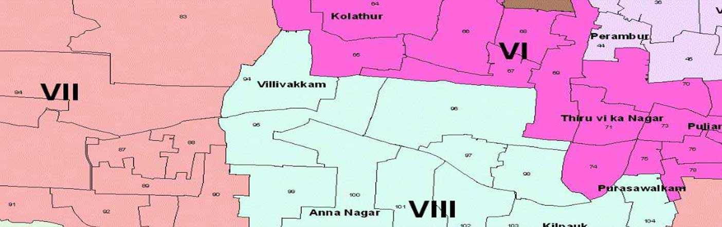
- Extraction and segregation of Parcels, Line and Point data from received scans of maps
- Digitization of roads, rivers, plot areas and other spatial details from satellite images
- Capture of plots and buildings from rural and urban area paper maps
- Digitization (identification and segregation) of underground utilities and related equipments.
- Infrastructure mapping digitized with specific coordinates/ control points
- linking of attribute data for entities and equipments
Industries served
- Government
- Forestry
- Surveyors
- Land Developers
- Telecom
- Oil and gas
- Real Estate
- Utility (Gas Line / Water Pipe Line / Electric Line / Telecommunications)
Map Digitization Services
- Raster editing
- GIS Map data creation
- Ortho-Photo Processing
- Ortho-Photo Digitization
- Cadastral Mapping
- Utility Mapping
- Land Record Mapping.
- Parcel Mapping
- Contour Mapping
- Topographic Mapping
We specialize in Automated Mapping / Facilities Management Systems (Space Management) and Geographic Information Systems (GIS) for utility mapping projects worldwide. We offer these services to various utilities like:
- Electric Distribution / Transmission
- Water
- Sewer
- Gas